
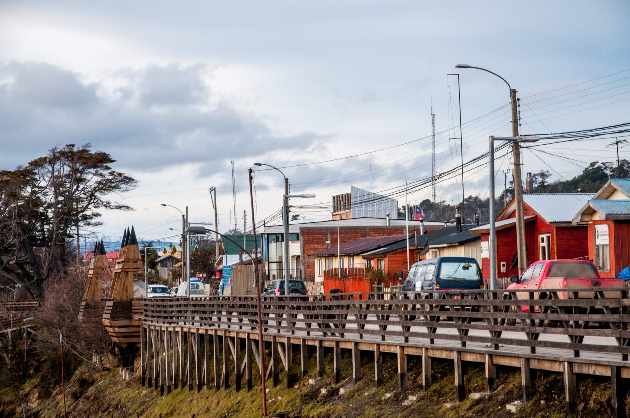
Getting to Puerto Williams is an experience in itself. Why? you may ask. Because there is no road connecting the city directly to the rest of Chile. Nor are there direct commercial flights from Santiago to Puerto Williams. And yet that is part of the adventure. Its isolation is part of what makes this destination special.
Puerto Williams is a Chilean city on Navarino Island, on the shores of the Beagle Channel and facing Argentine Tierra del Fuego. You can fly from Santiago to Punta Arenas and continue to Puerto Williams by air or by sea. You can also start your trip in Buenos Aires, reach Ushuaia and, from there, cross to Navarino Island over the Beagle Channel or look into air options.
Each route has a different rhythm. And each one lets you discover Chile's far south from a different perspective.
1. Santiago → Punta Arenas → Puerto Williams
For those arriving from abroad, one of the most direct routes starts in Santiago. Arturo Merino Benítez International Airport (SCL) is the main air gateway to Chile. From there, the airlines that commonly fly to Punta Arenas (PUQ) are LATAM, Sky Airlines and JetSMART.
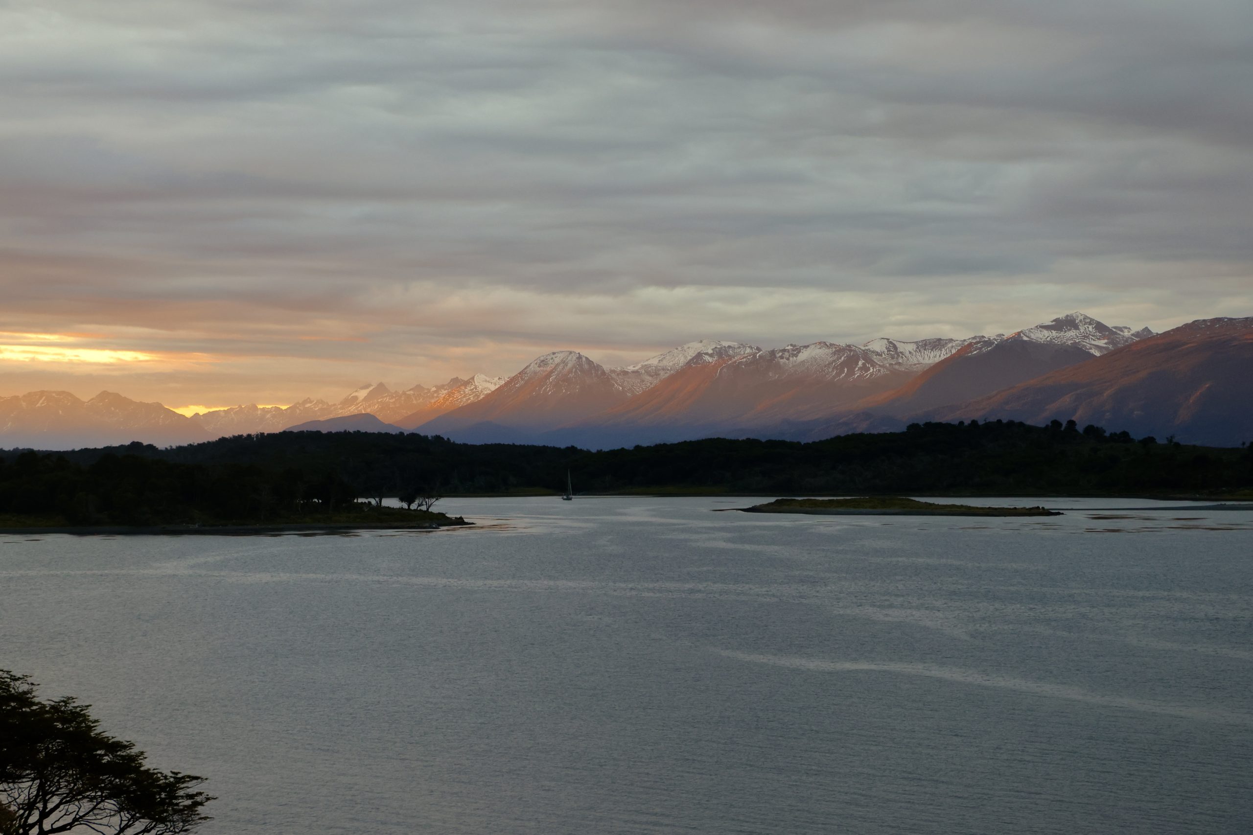
During the flight, the landscape begins to change. The central valleys and big cities are left behind. As you head south, the geography opens up, the wind takes over and Patagonia begins to appear.
Punta Arenas sits on the shores of the Strait of Magellan, the sea passage that for centuries was one of the main routes between the Atlantic and Pacific oceans. From here the last leg to Puerto Williams begins, and you have two options: fly or sail.
Punta Arenas → Puerto Williams by plane
The fastest option is to continue by air with Aerovías DAP, a regional airline that has connected different parts of Patagonia since 1980. In fact, DAP's very first flight, in 1980, was between Punta Arenas and Puerto Williams.
Still, this flight shouldn't be seen as just a transfer. From Punta Arenas, the aircraft leaves the city behind and flies over the Strait of Magellan, one of the most important sea passages in the history of navigation. The strait connects the Atlantic and Pacific oceans and separates the American mainland from the Isla Grande of Tierra del Fuego.
As the plane heads south, the landscape changes again. The water gives way to mountains, valleys and stretches of land that are practically uninhabited. The flight continues over the Isla Grande of Tierra del Fuego and approaches the Darwin Range, one of the great geographical features of this part of Patagonia.
The Darwin Range holds one of the main ice fields of southern Patagonia. From the air, its mountains and glaciers show the scale of a territory that for centuries was explored mainly from the sea.
Then the landscape meets the water again. The plane approaches the Beagle Channel, leaving the Darwin Range behind and heading towards Navarino Island. On the final stretch, Ushuaia may appear to the north and the Navarino mountains to the south, before landing in Puerto Williams.
This territory was first seen from the sky by the explorer and aviator Gunther Plüschow, who in December 1928 made his inaugural flight carrying the first airmail between Punta Arenas and Ushuaia (Argentina). In the following months, Plüschow and Dreblow carried out the first aerial surveys of the Darwin Range, Cape Horn, the Southern Patagonian Ice Field and Torres del Paine.
As for duration, the flight between Punta Arenas and Puerto Williams takes about 45 minutes, although it can vary with operating conditions. DAP runs regular connections between the two destinations, but frequency and schedules can change with the season, so it's best to check the official timetable before planning the connections for your trip.
The airline also uses different aircraft for its regional operations, including the Bombardier DHC-8 Q400, which seats 76 passengers, as well as BAe/Avro aircraft on some of its routes.
In other words: this way of getting to Puerto Williams is short in duration, but huge in landscape and history.
Punta Arenas → Puerto Williams by boat
But if you have more time, there is another way to get here. From Punta Arenas you can also board the ferry Kawéskar to Puerto Williams, run by the company TABSA.
You can see what it's like inside in this TABSA reel, the company that runs it.
The journey takes about 32 hours and, according to the company's official website, the ferry carries 175 passengers and offers different types of accommodation, including semi-reclining and fully reclining seats. On board you'll also find a dining room, food service, toilets, hot showers, internet, USB ports, power sockets, entertainment and a lift. It also has spaces adapted for people with reduced mobility and a children's room.
The idea is simple: here you don't have to watch the clock. You can walk around the ferry, rest, eat and go out to watch the scenery. During the voyage the landscapes of southern Patagonia appear: channels, fjords, mountains, vegetation and cold water all along the way. Depending on conditions and the itinerary, you may even see glaciers such as the Italia and the Alemania.
The very scale of the territory makes the journey a way to better understand the geography around Puerto Williams. It's easy to imagine why these waters were a key route for sailors and explorers. Among them were Charles Darwin and Robert FitzRoy, who travelled through Tierra del Fuego during the HMS Beagle expedition in the 1830s. Later, at the beginning of the 20th century, the territory would be seen from a new perspective thanks to explorers and aviators such as Gunther Plüschow, who made flights and aerial records over Tierra del Fuego and southern Patagonia.
That is, from their different means of transport they saw the natural beauty that, almost two centuries later, still defines the southern landscape.
2. Buenos Aires → Ushuaia → Puerto Williams
Does your trip start in Argentina? Don't worry, there is a second route to Puerto Williams from the neighbouring country: fly from the capital, Buenos Aires, to Ushuaia and, from there, cross to Navarino Island.
Ushuaia sits on the shores of the Beagle Channel, facing Navarino Island. Here the landscape changes again. The mountains seem to drop straight into the sea and the Beagle Channel opens in front of the city as a natural border between Argentina and Chile. From the Argentine town, there are two ways to reach Puerto Williams: crossing the Beagle Channel by speedboat or flying over the area in a small plane.
Both bring you closer to this territory from completely different perspectives. By sea, the route follows channels that for centuries were used by Indigenous peoples and later by explorers and sailors who ventured into Tierra del Fuego. From the air, the landscape unfolds on another scale: mountains, glaciers, islands and channels appear like a great natural map beneath the aircraft.
Ushuaia → Puerto Williams by speedboat
The most direct option is to cross the Beagle Channel from Ushuaia to Puerto Navarino, in Chilean territory.
The speedboat crossing can take around 40 minutes, and its details may vary by operator. Once on the island, a bus or minibus takes you along the north coast for about 55 kilometres to Puerto Williams.
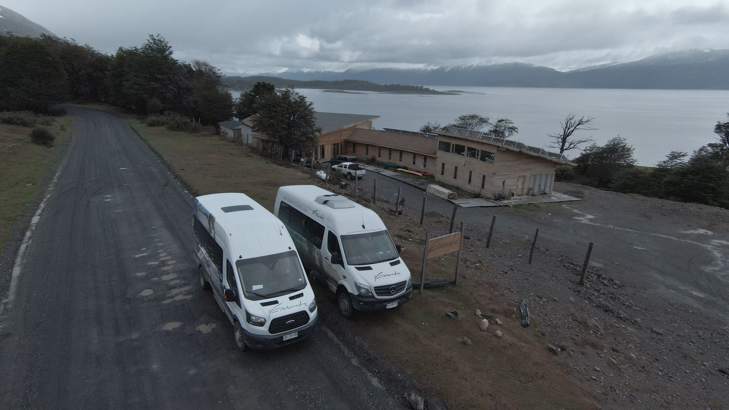
It's a short journey in time, but huge in landscape. During the crossing you can see the mountains of Tierra del Fuego from the water and, within minutes, cross the border between the two countries. And here's something important: this crossing is international. When leaving Argentina, you must complete the corresponding immigration procedures in Ushuaia and, on arrival in Chile, complete your entry into the country. So bring the documents you need to enter Chile and allow extra time for the controls.
Also, the crossing shouldn't be treated as a same-day round trip. Operators say you need to spend at least one night before returning. Regular service is also seasonal: some services run roughly between October and March, although exact dates may vary. Still, for those who have the time, the effort is worth it. Crossing the Beagle Channel literally means entering Chile by sea and arriving in the city described by Chileestuyo.cl as «the southernmost in the world».
Ushuaia → Puerto Williams by small plane
But for those who want to arrive by air, there are also flights connecting the Ushuaia area with Puerto Williams, depending on availability and each service's operation. Options linked to this kind of flight include the Aeroclub de Ushuaia and Jet Ushuaia.
Unlike a commercial flight, small aircraft let you see the territory up close. The Beagle Channel, the mountains of Tierra del Fuego and the landscapes of Navarino Island unfold beneath you, giving you a privileged view of the far south.
The experience also connects with the history of aerial exploration in the region. As mentioned earlier, at the beginning of the 20th century the German aviator Gunther Plüschow made some of the first flights and aerial records over Patagonian territory, which until then had been travelled mainly by sea and by land.
More than a century later, the sky is still a privileged way to discover this corner of Patagonia. Flying over the Beagle Channel and approaching Navarino Island lets you take in, from another perspective, the landscapes that made this territory a destination for adventure.
3. Which route should you choose?
The answer depends on where your trip starts and what you want to experience.
- If you're coming from Chile and want speed: Santiago → Punta Arenas → Puerto Williams by plane.
- If you have more time and want to enjoy the scenery: Santiago → Punta Arenas → Puerto Williams by boat.
- If you're coming from Argentina and want to cross the Beagle Channel: Buenos Aires → Ushuaia → Puerto Navarino → Puerto Williams by speedboat plus overland transport.
- If you're looking for a different air experience: Buenos Aires → Ushuaia → Puerto Williams on one of the aviation options available from Ushuaia.
The answer isn't just choosing between plane, small plane, speedboat or ferry; it depends on where you are and how much time you have. It's a choice between getting to Puerto Williams quickly or making the journey part of the experience. You have the final say.
If you want to see the three routes drawn on the map, with the legs, the operating days and the baggage allowed on each flight, they are in our guide to getting here.
4. Puerto Williams: the city at the end of the world
Finally, Puerto Williams appears. The city lies on the north coast of Navarino Island, facing the Beagle Channel. Here the landscape is always present. Mountains surround the city, the southern forest begins practically at its edge and the Beagle Channel stretches out in front of it.
Travelling along the south and east coast of the island you reach Puerto Toro, a small fishing settlement in one of the southernmost areas of Chile. There are no big streets, buildings or urban infrastructure, but there is a small community with a direct relationship with the territory. Puerto Toro is often considered the southernmost permanent settlement in Chile.
Getting there helps you understand the true size of Navarino Island: Puerto Williams may be the gateway, but the sense of isolation grows as you move away from the city. Then there is Cape Horn. For many travellers, reaching it is one of the great goals of a journey through southern Patagonia.
Cape Horn lies at the southern tip of the Tierra del Fuego archipelago, on Hornos Island. For centuries it was one of the most feared points on the world's sea routes. A symbol of endurance and seamanship. Today conditions for travellers are very different, while the landscape keeps that force. Either way, from Puerto Williams, Cape Horn stops being just a distant point on the map and becomes a real possibility for exploration.
Is Puerto Williams really a city?
It's a question many visitors ask: the web offers different answers, but it is in itself one of the most curious stories about this place.
For decades, Puerto Williams was considered a town. But in 2019 that changed. Chile's National Statistics Institute (INE) changed its definition of a city. Until then, the main criterion was urban centres with more than 5,000 inhabitants. The new definition kept that criterion but added an exception: towns with fewer than 5,000 inhabitants could also be considered cities if they were regional or provincial capitals. And Puerto Williams met exactly that condition. It is the capital of the Chilean Antarctic Province. So, in March 2019, the INE officially placed Puerto Williams in the city category.
The 2017 Census recorded 1,868 inhabitants. This matters because the change didn't happen because Puerto Williams had suddenly reached 5,000 inhabitants. Nor was it a law passed by Congress that changed the place's administrative status. It was mainly a change in the statistical classification used by the INE. And that detail explains much of the debate that followed.
5. Puerto Williams vs. Ushuaia: which is really the southernmost city?
If you've read up on Tierra del Fuego before travelling, you've probably come across a well-known claim: Ushuaia is the southernmost city in the world. And you may also have found another: Puerto Williams is the southernmost city in the world. Why do both exist? The answer lies in the definition.
Ushuaia, in Argentina, lies north of the Beagle Channel and is a much bigger city. For decades it was internationally recognised as the southernmost city in the world. Puerto Williams lies further south, on Navarino Island. However, for a long time it was classified as a town, until Chile's INE changed its definition in 2019, when it officially became a city. Since then, the two destinations have kept up a particular dispute over the title.
But there is an important nuance. Not all institutions use exactly the same definition of «city». Academic research such as the 2020 study by the OECD and the European Commission, Cities in the World: A New Perspective on Urbanisation, points out that there is no consensus between countries and organisations, since the criteria differ.
So the debate isn't simply a matter of who is further south on the map. In other words: Puerto Williams is further south. Ushuaia is much bigger. And the debate over which is the «southernmost city in the world» depends, in part, on which definition of city you adopt. Perhaps the best way to settle the debate is not to settle it. After all, both places are exceptional gateways to Tierra del Fuego.
The fact that you have to cross a channel, take a small plane or sail for hours to reach Navarino Island partly explains why the place keeps a scale and a feel so different from other tourist destinations in Patagonia. You don't come here just to «tick off» a point on the map. You come to a place where the landscape still dominates: mountains, southern forests, the Beagle Channel and a geography that constantly reminds you how far you are from the big cities.
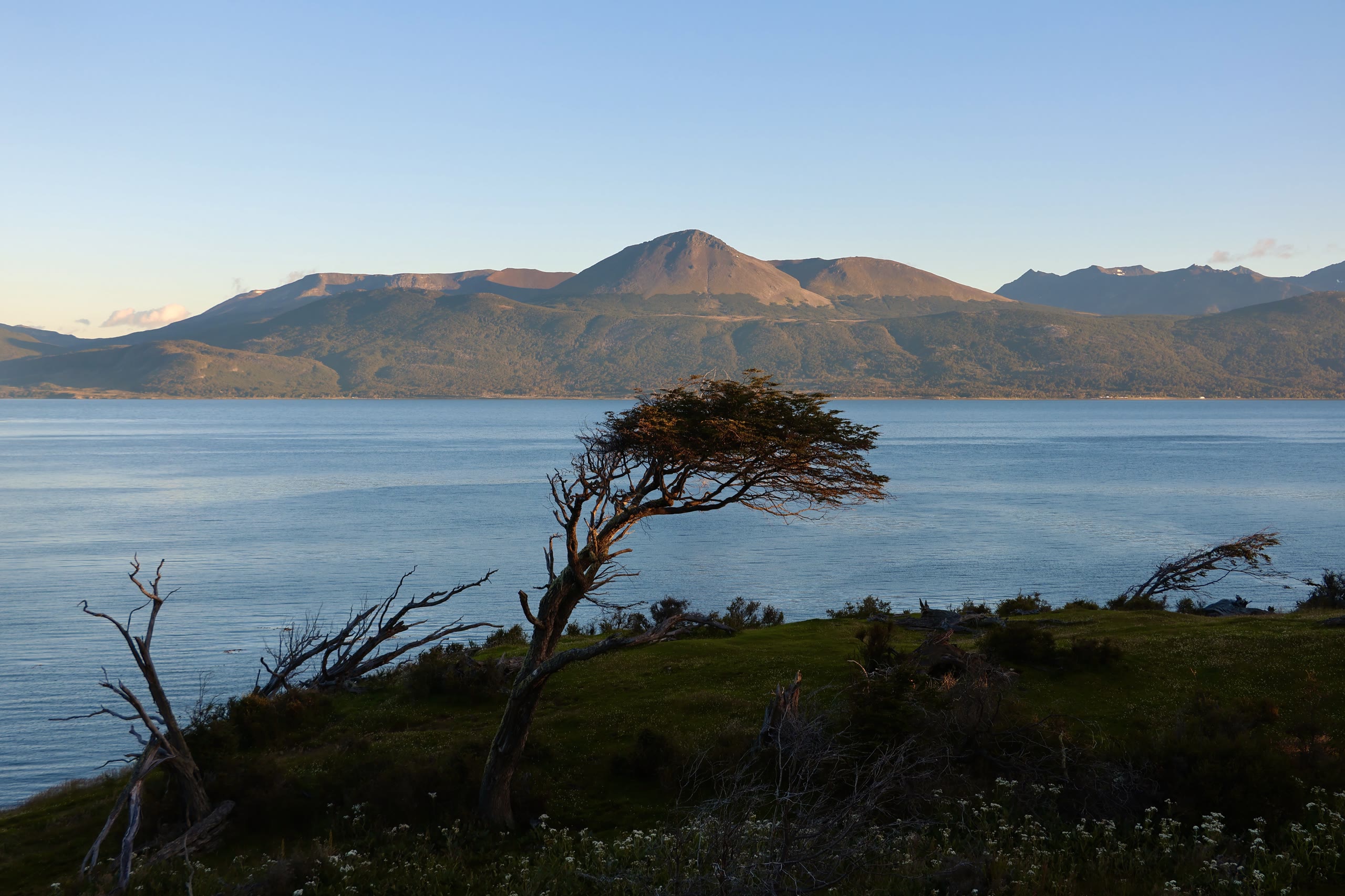
There is no road. There are no big terminals. There is no mass arrival of tourists. And in a world where it's ever easier to get almost anywhere, there are still destinations like Puerto Williams that make you stop, look at the map and think: how do you get all the way there?
Still planning your arrival? Write to us at contacto@errantecolodge.com with the subject «ROUTE to PW» and we'll help you plan your route.


